TIS 2019
Session 14 – BIM and Infrastructure design
New methods and technologies are changing the sectors of engineering and constructions. The European Directive 2014/24/EU and its recent Italian transposition law DM 560/2017, encourage an extensive use of BIM-based practices in transport infrastructure design. BIM system (Building Information Modeling) rapresent an opportunity for project manager in digital processes for infrastructures.
Francesco Abbondati, Salvatore Antonio Biancardo, Sabrina Palazzo, Francesco Saverio Capaldo and Nunzio Viscione – I-BIM FOR EXISTING AIRPORT INFRASTRUCTURES / New methods and technologies are changing the sectors of engineering and constructions. International researchers introduce the acronym I-BIM (Infrastructure Building Information Modeling) to point out a management information system of digital processes for infrastructures. In this study is shown the 3D parametric solid model of Lamezia Terme International Civil Airport’s runway located in Southern Italy. The 3D parametric model, based on the horizontal/vertical profiles and the cross sections, was carried out using Autodesk Civil 3D, while the territorial context was implemented using Autodesk Infraworks360. Then, Grip numbers data, collected during surveys from 2004 to 2015, were implemented in the 3D model. These data can be used for an optimal Airport Pavement Management System (APMS) for planning maintenance operations (BIM – seventh dimension) in according to Civil Aviation regulation. First set was to create a digital TIN ground model of the Lamezia airport ground, then analyse horizontal alignment and vertical alignment of the runway and taxiway. BIM also allows to support the estimated coats and managent and interacted with the environment in real time that allows to considerate the whole project as an intelligent model. Finally, in order to optimised and validated the project, managed it and observe how it’s works with it’s real context.
Fabrizio D’Amico, Alessandro Calvi, Eleonora Schiattarella, Mauro Di Prete and Valerio Veraldi – BIM and GIS data integration: a novel approach of technical/environmental decision-making process in transport infrastructure design / The European Directive 2014/24/EU and its recent Italian transposition law DM 560/2017, encourage an extensive use of BIM-based practices in transport infrastructure design. Therefore, a shift from the traditional design approach towards a shared and highly integrated model, capable of including the various design phases along with economic, operational and environmental concerns, is observed. In such a framework, this work evaluates the benefits returning from the integration between geospatially-referenced data and the BIM models for a more aware design approach.
The major aim of this study is to underline the potential of an interoperable and shared model supplemented by GIS data, in minimizing or definitely removing the possible conflicts that typically arise between the infrastructure design and environmental constraints.
Particularly, thanks to both the simultaneous assessment of each environmental component and the evaluation of the different project configurations, this methodology can provide an integrated technical/environmental overview of the design.
As a result, it allows for immediately verifying the project to comply with the national minimum environmental criteria, which are mandatory for contractors according to the Italian environmental law n° 221/2015 and the new Italian Public Procurement Code.
The proposed approach was finally tested on an airport infrastructure. Preliminary results have shown viability of the data management model for supporting designer’s choices in the various project phases, thereby proving this methodology to be worthy for implementation in infrastructure design procedures.
This study combined environment, design, geographic and building expertise using BIM ang GIS in simultaneous way to facilitate the environment compatibility with a unique complex BIM model. GIS is a focus tool regarding the research, by completing the BIM approach, for sustainable civil infrastructures.
The case of study is an airport infrastructure. First step consisted to collect general informations on 3D software as Revit. Then, joining the GIS database, with all the territorial data to combined to the technical 3D data. Through the overlap of this design element, with the layer of environment characterisation on the soil quality, already in design fase will be possible to evaluate the portion of land than can be reused.
This approach can optimised the maintenance investment, anticipating maintenance to those elements that show structural and environment criticality’s simultaneous.
Fabrizio D’Amico, Luca D’Ascanio, Maria Chiara De Falco, Chiara Ferrante, Davide Presta and Fabio Tosti – BIM for infrastructure: an efficient process to achieve 4D e 5D digital dimensions / The introduction of Building Information Modeling (BIM) approach in Civil Engineering practices allows an optimization of design through both an improved control of all the components of the project and an increased efficiency in the collaboration between all the professionals involved.
In Italy, an increasing attention is being paid by scientists and professionals on the matter, especially due to the publication of the national law DM 560/2017, which will gradually rule the integration of the BIM-based procedures for contractors in major public tenders. The present paper aims to propose a methodology for implementing a dynamic model that permits to optimize time (4D) and cost (5D) efficiency in the different project phases. To achieve this goal the process relies on several authoring tools and 4D/5D modeling software, capable of enclosing the multiplicity of the project data in a unique and shared environment. This study focuses on the most effective methodology to maximise the interoperability between the various used codes. To this effect, a case study involving an optimization-oriented approach for both the quantity surveying and the definition of the design management timeline is presented, which stand as two of the major issues concerning the evaluation criteria of a civil engineering project. Finally, it is important to underline that this bidirectional process allows for an advanced costs estimation of the project and an optimized timeline of the construction activities. Moreover, in case of unavoidable changes during the design phase, it permits to effectively reiterate the process with significant reduction on the overall computational times. In conclusion, incorporating 4D and 5D dimensions in a unique BIM infrastructure model allows to show how modification of design elements influence costs, analyse the built process, identify problems that may not be visible via traditional schedules, assess feasibility of execution to find the best solution and identify and resolve potential dynamic interface between the different learns on site.
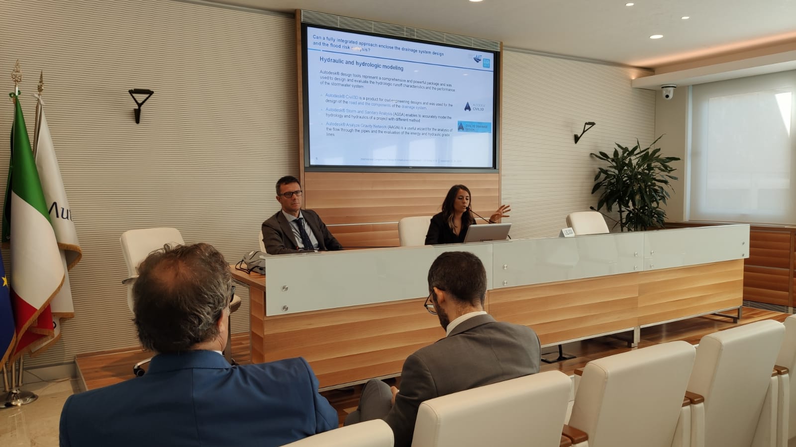
Chiara Ferrante, Luca Bianchini Ciampoli, Maria Chiara De Falco, Luca D’Ascanio, Davide Presta and Eleonora Schiattarella – Can a fully integrated BIM approach enclose the drainage system design and the flood risk analysis? / In recent years, the Building Information Modeling (BIM) methodology has emerged as a pivotal approach for the design and management optimization of infrastructures. The need for fully integrated models has led to develop various tools to support the designers throughout the decision-making process of the entire life cycle of an infrastructure project. In particular, the design of transport infrastructures is a complex process that involves issues concerning all the different fields of civil engineering. In this framework, the BIM method can be efficiently applied to support the project of drainage systems capable of protecting railways and roadways from potential hydraulic risks. According to the above, this study presents an optimized BIM-based methodology for the integrated analysis of the flood risk and the design of the drainage system components. Specifically, the proposed method allows to implement hydraulics and hydrological numerical models as part of the different design phases. Such an approach holds two main advantages for the designer. On one hand, the computational modelling provides a decisive support in both defining water surface profiles over the designed area and identifying the spots exposed to major hydrological risks. On the other hand, the hydraulically guided modelling of each component of the drainage system allows for an increase of the overall productivity and efficiency of the project. A case study is presented to highlight the great potential of the proposed approach in ensuring both the integrity of datasets and the rapid clash detection of critical interferences between each system component. In conclusion, new perspectives about a fully integrated hydraulics analysis in the infrastructures design process are stressed out. This computation with traditional approach revealed the importance of a BIM-oriented technology for the management of the involved complexity and the accomplishment of the headline targets with an optimised strategy and reduction of costs. The Method was found to be effective in the design of the components of the drainage system which were verified and updated within model with a significant reduction in times. Moreover, the software used not only represented a valid design tool, but were also used for the hydraulic and hydrological analysis on the drainage components network. Consequently, this process led to an increased awareness the design choices and alternatives.
Marco Pasetto, Andrea Giordano, Paolo Borin and Giovanni Giacomello – Integrated railway design using Infrastructure-Building Information Modelling. The case study of the port of Venice / The Infrastructure Building Information Modeling (I-BIM) is a digital information management system utilized in the transport infrastructures construction, becoming increasingly important. BIM modeling aims at bringing improvements to all design stages. The use of BIM modeling will also provide cost reduction and control, increase awareness to data, design information availability and usability in each phase of infrastructure life cycle. Although the advanced modeling of the building components and systems leads to advantages well highlighted by practice and literature, in case of transportation infrastructures a critical analysis could show if this design methodology carries out the same benefits. The limited availability of infrastructure components libraries and the difficulty in assigning parameters to the geometries of the objects (many of them with unique characteristics) have been frequently quoted as main obstacles to the BIM use for the transport infrastructures. With this background, the problem is to understand which BIM-for-building features must be preserved in the production and management practices of each infrastructure model (classes, information exchanges and relationship between the classes and the spatial decomposition). This work is focused on the study of the I-BIM methodologies for the transport infrastructures (in particular railway infrastructures), analyzing a case study related to the port of Venice. The upward trend of goods quantity daily passing through the port infrastructures, led to the need to expand the container loading/unloading ship areas and, at the same time, to find a new and faster goods exit from the port areas, compared to the existing railway infrastructures. The authors developed a pre-feasibility study to identify the railway connection between the new port station and the existing line Padova – Mestre and to evaluate the difficulties and the ripeness of available means for an integrated design with the BIM tools. Finally, this paper shows that using the new BIM approach is been evaluated the best solution among three alternative railway layouts in the Venice Port. A multi-criteria decision analysis allows to link data from the model at the geographic scale to information about construction site and costs. Moreover, another model, that represents other classes of elements provides a new set of information to check the accuracy of the first analysis. During the modelling of the detailed elements it has been demonstrated that existing methods can help transportation design. Furthermore, the definition of dictionaries, classes of objects and associated methods represent a mandatory step in order to give effectiveness to the multi scale approach.
Michele Amerio – Doha Metro Project – 3ti Lessons Learned / Since 2015 3TI Progetti has been involved in Doha Metro Project in Qatar, one of the world’s most important and significant construction infrastructure sites. Phase 1 includes/involves the construction of three (Red, Gold, Green) out of the future four metro lines and 37 passenger stations. In 2017 3TI became “Lead Designer” for the Red Line South Underground that runs for about 40 km from Al Wakra to Lusail thus connecting Terminal 1 of Hamad International Airport with the city center. 3TI tasks include the management and coordination of the architectural design process, the technological and structural systems of five passenger stations including the exchange facilities. Among the challenges one of the main ones was the use of BIM. Given the complexity of the project and the multiplicity of interlocutors involved, BIM has permitted the control and update of the information in an integrated way, the timely resolution of clashes even during the work in progress, the identification and scheduling of the most effective maintenance strategies during the entire life cycle of the facilities. The BIM technology has allowed the management and development of the project from its earliest design stages, through the creation of easily-replicable and automatically-updatable parametric elements, enhancing the operations of realisation and construction in order to reduce complexities and to minimize time and costs. The leading role of the entire executive and construction design process and of all the interdisciplinary BIM interfaces, acquired by 3TI within the JV led by Vinci Construction, was faced and carried out through the creation of a focused team, both in Rome headquarters and in Doha, where up to 90 engineers and architects took turns. One on the first big challenge was the big numbers, due to the dimension of the project. Like that, MD2 and MD3 models were created for architecture, structure, MEP-Systems, … and combined together. Moreover, BIM also managed the clashes, the timeline, the quantities, the security, the leed and the operation of maintenance. An other challenge was to involved all the BIM subject as clients, designer, contractors, supervisors and OPS contractors. All are informed at the same time and the model directly evolved following in direct the various modification, request and construction. The BIM using for the Doha metro project allows also to reduce the professional involved and cancel the printed layout which was considerable before using BIM technologie. Other benefits were noted like elimination of unbudgeted changes (up to 40%), reduction of project time, reduction of time taken to generate bill of quantity (up to 80%) , … Finally, this project experimented all the dimensions of the BIM, from 3D modelling to 7D management of the project thanks to The COBIE (Construction Operations Buildings Informations Exchanges) allows to collect together all the informations.
CHAIRMAN : Gianluca Dell’Acqua